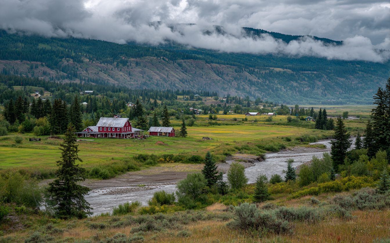
North of Marysville, the Stillaguamish River runs out of the Cascade foothills, through Arlington, across the farm valley past Silvana, and out to Port Susan near Stanwood. Most of the year it's a quiet river. In a big winter storm, especially when heavy rain falls on early snow in the mountains, it can rise fast. The valley floor around it is a floodplain, and the towns along it know that.
The Gauge at Arlington
The National Weather Service tracks the river at a gauge called Stillaguamish River at Arlington. It uses four levels to describe how high the water is getting:
| Level | Stage at the gauge | What it generally means |
|---|---|---|
| Action stage | 12.5 ft | Time to watch closely and prepare |
| Minor flooding | 14 ft | Low fields and some roads begin to flood |
| Moderate flooding | 17.5 ft | Wider flooding of farmland and roads; some buildings affected |
| Major flooding | 19 ft | Extensive flooding across the valley; homes and roads at risk |
The forecast for the gauge, with these levels marked, is posted on the National Water Prediction Service site. In a storm, it's the best single place to see what the river is expected to do.
The Record: December 2023
On December 5, 2023, after days of heavy rain, the Stillaguamish crested at 21.34 feet at Arlington, the highest crest on record at the gauge. The previous highest crests had come in December 2010 and November 2006, both just above 21 feet. That month, Snohomish County officials said about 500 homes across the county had flooded, mostly near the Pilchuck River in Snohomish and around Stanwood and Arlington. The county issued an emergency proclamation afterward.
The records show something else too. The biggest floods at Arlington have all come between late October and January. That's the season to pay attention.
Before the River Rises
If you live on low ground in the valley:
- Know your gauge. Bookmark the Arlington gauge forecast and know which stage starts to affect your road and your property.
- Sign up for alerts. Snohomish County and the National Weather Service issue flood watches and warnings.
- Move things up. Get valuables, documents and anything you can carry off the floor and out of the garage.
- Know your way out, and don't wait until the road is under water.
- Photograph your house inside and out before the season, so you have a record if you need to file a claim.
After the Water Goes Down
- Don't go back in until it's safe. Watch for structural damage, gas and electrical hazards.
- Photograph everything, including the high-water line on walls, before anything is cleaned or moved.
- Call your insurer to report it.
- Call a restoration company. River water carries silt and contaminants, so cleanup is more than drying. Mud comes out, porous materials it touched usually go, and surfaces get cleaned before drying.
- Keep records of everything removed and every visit, with the moisture readings.
The cleanup steps are covered in more detail on the yard and creek water page.
Why the Big Ones Come in Late Fall and Winter
The Stillaguamish drains a large stretch of the western Cascades, and its floods follow the storm season. By late October the ground in the foothills is soaked from the first fall rains. When a warm, wet storm then arrives, rain falls high in the mountains instead of snow and may melt the early snow already there. All of that water comes down the North and South forks at once, and they meet at Arlington. That's why the top crests on record cluster between late October and January. Lowland homeowners can use that pattern. Fall is the time to clear gutters and downspouts, check the crawlspace, move stored things off garage floors, and know where to find the gauge forecast.
Higher Ground Isn't the Same Story
Arlington itself is split. Downtown and the valley floor sit on the floodplain. The neighborhoods on higher ground, toward Smokey Point and Arlington Heights, rarely see river water. Their water damage looks like the rest of north county: pipes, water heaters, appliances and bathrooms.
Questions
Will my homeowners policy pay for river flooding?
Standard homeowners policies generally don't. Flood insurance is a separate policy, available through the National Flood Insurance Program and some private insurers, and it usually has a waiting period before coverage starts. Check with your agent.
How do I know if my property is in the floodplain?
FEMA's Flood Map Service Center shows mapped flood zones by address. Areas outside mapped zones can still flood in a record event.
The river didn't reach my house, but my crawlspace is full. Why?
High river levels raise the ground water across the valley. Water can come up into crawlspaces even where the river never came over the ground.
Along the River
The Stillaguamish pages: Arlington, Silvana and Stanwood. To the south, the Pilchuck and the Snohomish rivers bring the same lessons to Snohomish.
Stillaguamish River at Arlington gauge (NWPS) Look up an address on FEMA flood maps
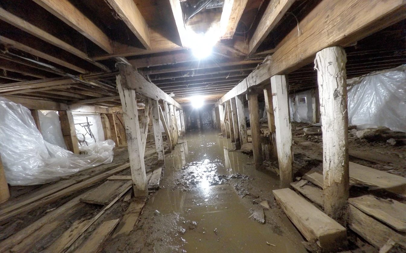
Crawlspaces on the Lowland: Standing Water Under the Floor
What happens under a house on wet ground, and how it gets dried.
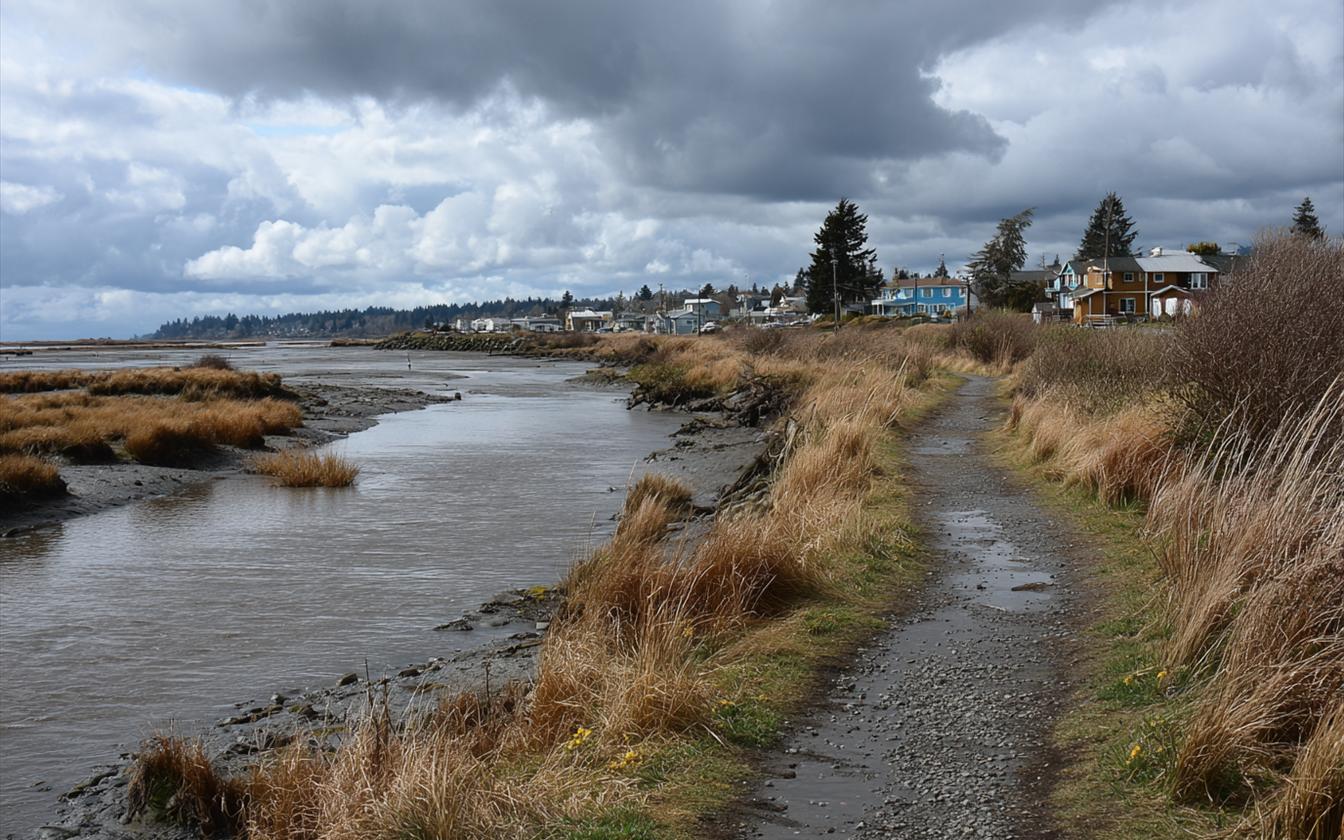
Ebey Slough, the Old Levees and the Qwuloolt Estuary
Why the town's edge is levee country, and the levee that was cut on purpose.