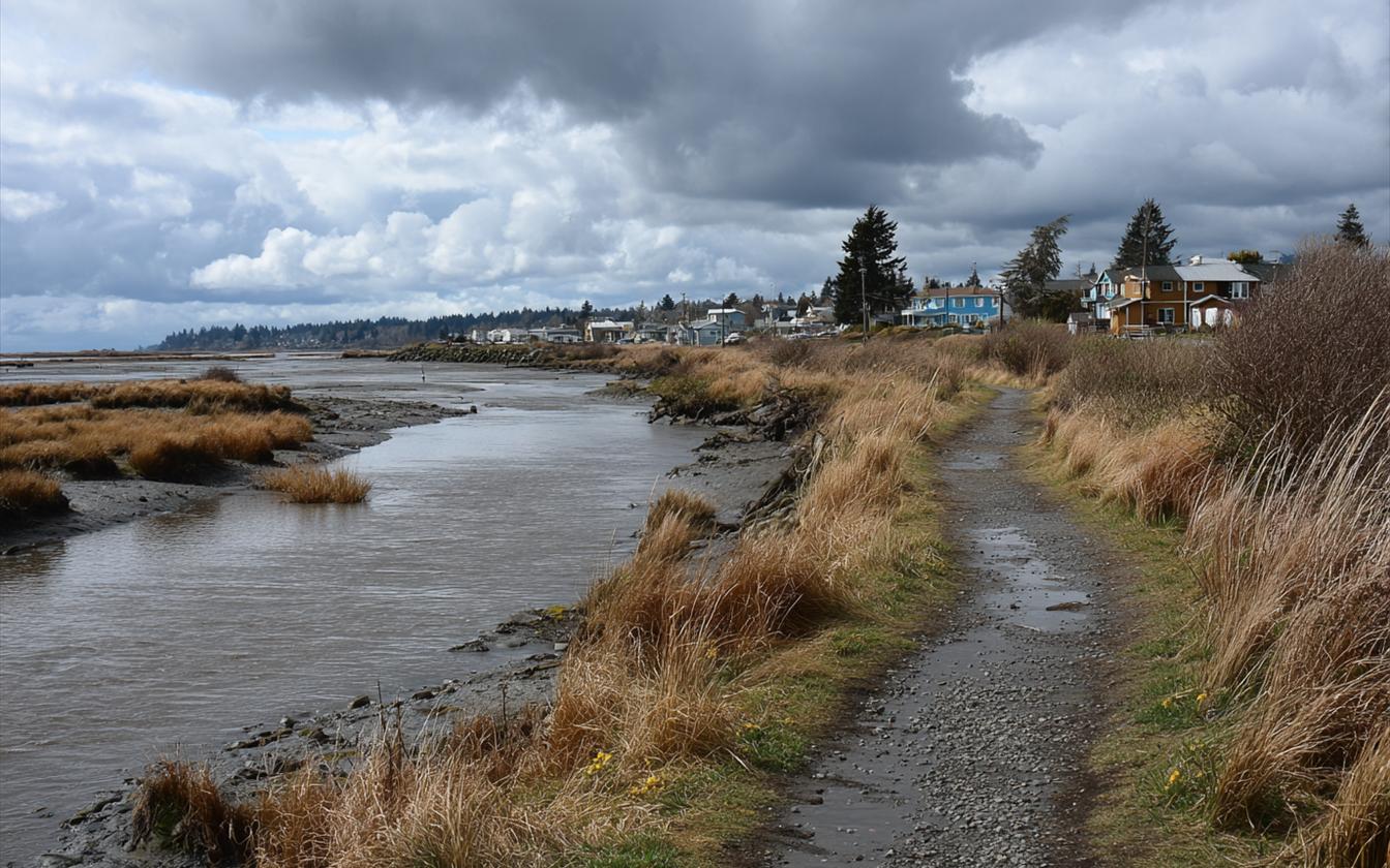
Marysville's southern edge is a tidal channel. Ebey Slough is one of the branches of the Snohomish River delta, and the tide moves in and out of it twice a day. The town grew up on its north shore. That shore has been shaped for more than a century by levees that kept the tide off land people wanted to farm. Then, in 2015, one of those levees was cut open on purpose. Understanding that history explains a lot about the low ground along the south end of town.
A Sawmill Town on the Water
In the town's early years, Ebey Slough was its main street for industry. The Great Northern Railway crossed it on a drawbridge in 1891, the same year Marysville incorporated. By 1910 ten sawmills were cutting lumber along the shore. A road bridge across the slough and the estuary followed in 1927. The land behind the shore was marsh and tideflat, and much of it was diked and drained over the following decades for farming.
Why the Levees Were Built
The tidelands behind the slough were too wet and too salty to farm as they were. A levee with tide gates kept brackish water out of the soil, so the marsh could be turned into pasture. Early in the twentieth century, repeated controlled flooding and other work across the Snohomish delta also built up the silty soil the area's farms relied on. The levees did their job for a long time. But a levee that holds the tide back also traps water behind it, and low ground near a levee stays wet.
When a Levee Fails by Accident
Levees need upkeep, and small failures happen. In January 2010, a burrowing animal was blamed for a leak and breach in a levee along Ebey Slough near Sunnyside. It caused minor flooding, with no damage to homes and nobody hurt. It was a small event, but a reminder that the levees along the slough are earth, not concrete, and they're working against the tide every day.
Water under a house near the slough?
Marysville's water damage line: (360) 502-8980.
Call (360) 502-8980When a Levee Is Cut on Purpose
The Qwuloolt Estuary project went the other way. Led by the Tulalip Tribes with federal, state and local partners, it spent many years buying land, cleaning it up, restoring streams and building new protection before the old levee came down. On August 28, 2015, the Army Corps of Engineers cut a gap in the century-old levee along Ebey Slough. Tidal water flowed back onto several hundred acres of former farmland for the first time in more than a hundred years. City officials asked residents not to call 911 about the "flooding" on that land, because it was the point of the project.
To protect what was nearby, the Corps built a setback levee, about 4,000 feet long, between the restored estuary and an industrial park and the city's wastewater treatment plant. The restored marsh has since brought back tidal habitat for salmon and other wildlife.
What This Means for Homes on Low Ground
None of this means the slough is about to come through the south end of town. It does mean a few things for homeowners on the low ground nearby:
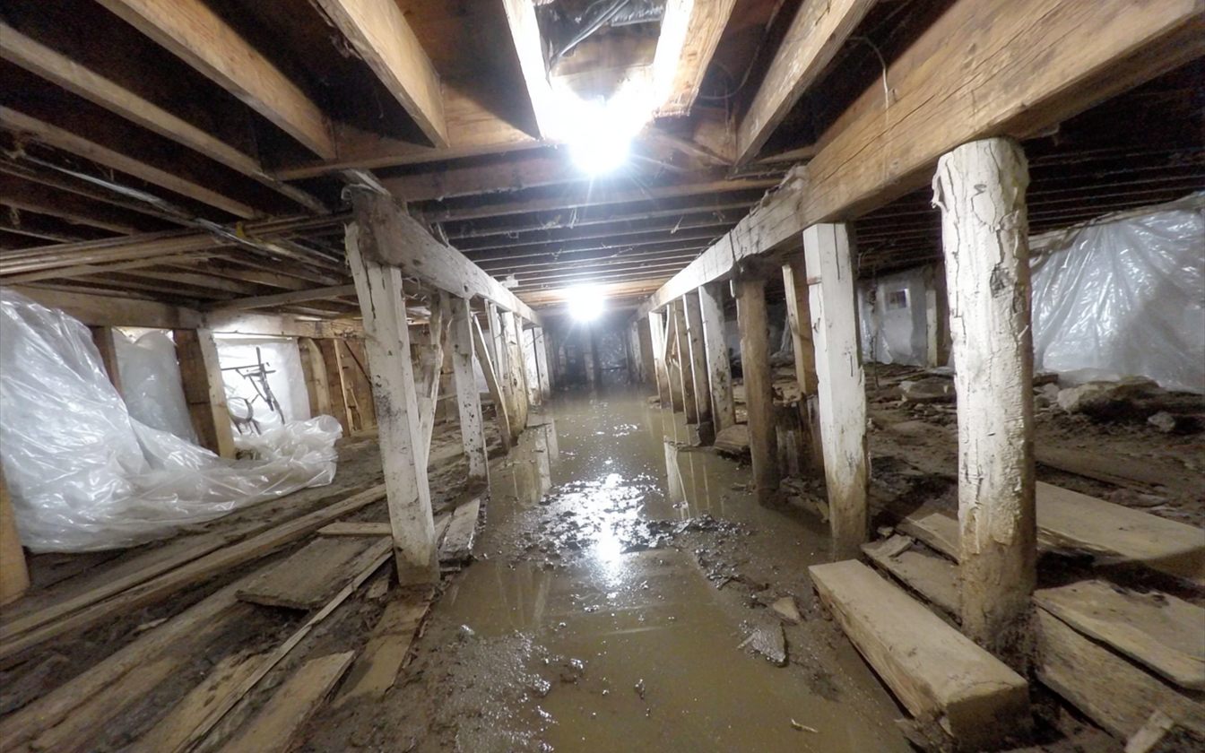
- The water table is close. Land near a tidal slough and behind levees stays wet, especially in winter. Crawlspaces can take water from below.
- Drainage has limits. When the tide is high and the creeks are full, water from the land has to wait to drain.
- Levees are maintained by people. The levee and drainage districts and agencies that maintain them post information and warnings. Paying attention in a big storm is worth it.
- Older homes are common near downtown, and older houses on low ground often have damp crawlspaces as a fact of life.
The Estuary Today
The restored estuary is now part of how people use the south end of town. The city has built trails along it, and the marsh has filled back in with tidal channels and native plants. For homeowners, the useful lesson is the one the whole project rests on. This ground was a tidal wetland long before it was a pasture or a neighborhood, and water still knows the way.
Questions
Did the 2015 breach make flooding worse for nearby homes?
The breach was planned, and the setback levee was built to protect nearby property before the old levee was opened. If you're concerned about a specific property, the city and the county have flood information, and FEMA's maps show mapped flood zones.
My crawlspace near the slough is always damp. Is that normal?
Some dampness is common on low ground, but standing water or wet insulation isn't something to live with. It keeps the framing wet. A restoration company can measure it and dry it out.
Where can I read more about the estuary?
HistoryLink, Washington's online encyclopedia of state history, has a full account of the Qwuloolt Estuary project and the land's history.
Around Marysville
The slough-side streets are covered on downtown and the waterfront and Sunnyside. Downriver at the other end of the county, Stanwood lives with dikes too. When outside water does get in, see yard and creek water.
Quilceda Creek, Allen Creek and the 70 Small Streams
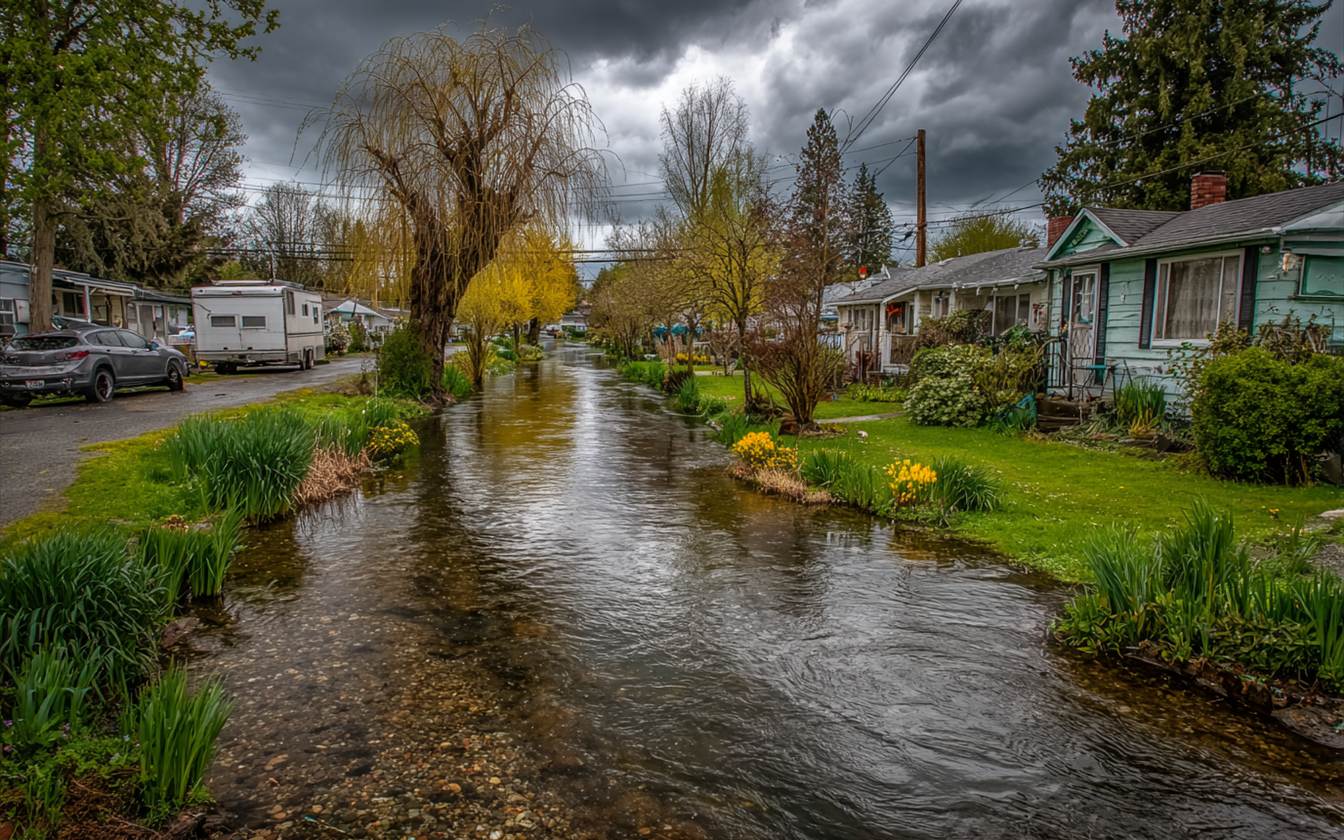
How two creek watersheds drain the city, and what that means for low lots.
Crawlspaces on the Lowland: Standing Water Under the Floor
What happens under a house on wet ground, and how it gets dried.